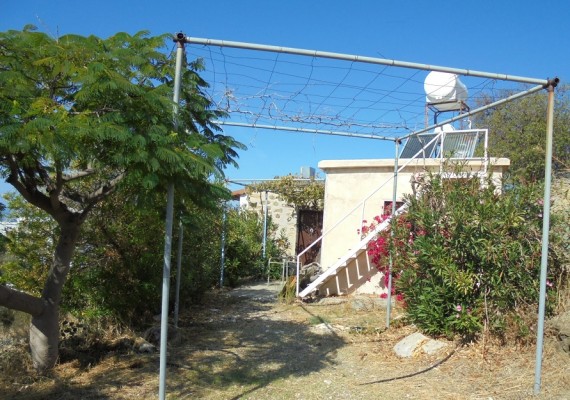
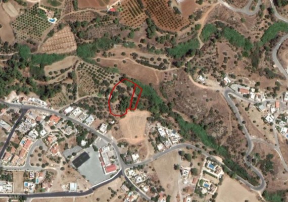
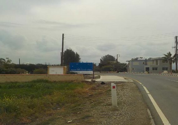
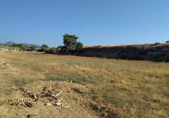
This is a village which enjoys the breeze of the sea and which is “embraced” by a pine forest. In Argaka there is a large forest expanse which covers the uncultivated pieces of land, as well as several cultivation, in the Paphos district at the valley of Chrysochous at the central eastern part of the Chrysohous Bay. It is about 8 km from the town of Polis Chrysochous and it is located at an altitude of 90 meters above the sea level. Many rivers flow from the slope towards the sea, one which is very big, passes next to the village. The river of Makounda is located to the southeast of the village. Due to the fact that the average rainfall is between 450 and 520 cm, there is a variety of local products grown. The hot climate in Argaka helps the cultivation of some semitropical plants such as the prickly pear and the mespilo. Argaka is divided into two parts: Kato Argaka (which is next to the sea) and Pano Barakka (which is upon the slope, looking over the sea). Pano Argaka represents the older community while Kato Argaka is the new community because of the split, due to the river, it is built on a slope and the main road passes through it.
POPULATION
The population of the village , showed an increase from the previous century until today. From 90 residents in 1881 to the last census that occurred in 2001, the community’s inhabitants numbered 793. Behind this increases of population are the fertile land of the village, the easy-to-use transportation network between Polis and Nicosia, the neighboring mine of “Limni” (Lake), the irrigated tracts of land, and the modern agricultural growth of profitable produce. Including the village in the irrigation plan of Chrysochous has benefited the community to the maximum.


